The easiest way to collect too much aerial imagery is to launch before deciding what question it should answer. A property overview, a fence-line record and a repeatable crop observation require different plans and different evidence of success.
Name the decision first
Ask what the person on the ground needs to know after the flight. Is the aim to document a visible change, locate an area for a closer inspection or compare the same area over time? Write the expected output in a sentence. That helps the pilot choose the view, flight timing and handover format.
Drone imagery can support observation, but a camera image does not automatically diagnose agronomic or engineering conditions. Specialist interpretation may require appropriate expertise and other data.
Plan the capture for comparison
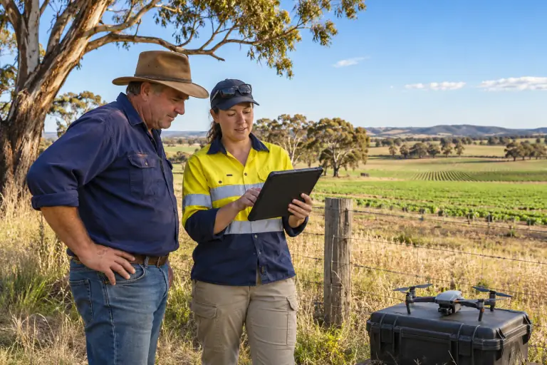
If images will be compared later, consistency matters. Record the date, approximate time, location, camera settings where relevant and the area covered. Decide whether the same angle, altitude or route should be repeated. Identify the map, photo set or short report the recipient will actually use.
When a task needs mapping or measurements, agree the quality requirements before flying. Our surveying and mapping page explains why capture planning and data quality are separate skills from keeping a drone in the air.
Treat the property as a worksite
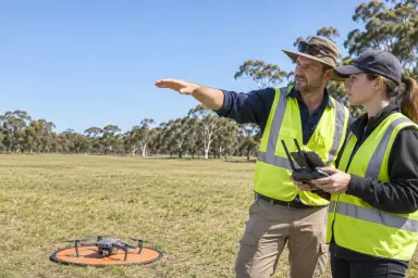
Regional space can appear open while still containing wires, vehicles, livestock, machinery, workers and changing weather. Confirm land access and coordination with the property manager. Walk the launch area, agree on a safe recovery point and consider how the pilot will maintain visual line of sight.
CASA’s national drone safety rules still apply outside cities. Commercial purpose and aircraft weight can also affect registration, accreditation and licensing requirements. Do not assume a rural location removes those obligations.
Review the result with the user
After the flight, ask whether the imagery answered the original question. If it did not, determine whether the issue was the question, timing, flight plan, camera or interpretation. That review should shape the next flight and the skills your team develops.
The agriculture training page sets out a practical pathway brief. Drone Training has not confirmed an agricultural training provider or local delivery dates yet.