
Industry applications

Drone training for surveying and mapping

Good mapping begins before take-off. The team must know the accuracy needed, the site constraints and how images will become usable information.

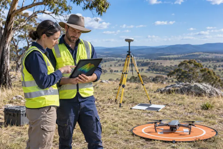
Surveyors review a tablet and drone beside field survey equipment.

01 / Industry applications

Work backwards from the deliverable

A site overview, orthomosaic and measurement workflow are different outputs. Define the required coverage, resolution, overlap and quality checks with the person who will use the data. Training should distinguish flying the route from validating the result.

  • Scope and site access
  • Capture plan and repeatability
  • Ground control or reference method where needed
  • Image quality and processing checks
  • Data handover and limitations

02 / Industry applications

Connect capture to safe operations

Mapping flights can involve repeatable routes, long sessions and complex terrain. Pilots need to check airspace and local permissions, maintain situational awareness and know when to stop or re-plan. The applicable accreditation or licensing pathway depends on the aircraft and operation.

03 / Industry applications

Choose the right level of training

A new pilot may first need drone essentials or RePL training. A technical team may need additional photogrammetry, processing and quality assurance beyond pilot qualification. Ask a provider to separate those learning outcomes in a quote.

Common questions

Questions about this pathway

Does a RePL qualify someone as a surveyor?

No. A RePL is a remote pilot qualification. Surveying and mapping deliverables can involve separate professional, technical and data-quality responsibilities.

Is photogrammetry the same as pilot training?

No. Pilot training addresses aviation and flight skills; photogrammetry adds capture design, processing and interpretation.

Can a team train on its own site?

A suitable site and provider must be confirmed. Share the location, aircraft, desired output and site constraints in the enquiry.

Are software licences included?

No inclusions have been published. Confirm software access, processing time and data ownership with a provider before booking.

Check the source

Official guidance

Requirements can change. Confirm the current rules with the responsible authority before choosing training or planning a flight.

Next step

Need a repeatable mapping workflow?

Tell us the intended deliverable, site, aircraft and software already in use.

Drone Training

Drone Training support

How can we help?

Find a training pathway or send us a question about learning to fly in Australia.